
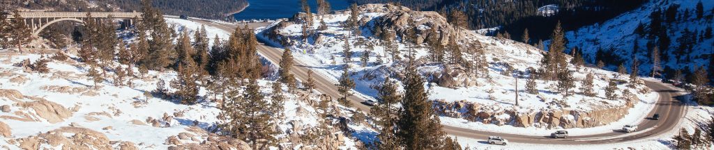
ROAD CONDITIONS
US I-80 and I-580, CA SR89 and SR267, NV SR431 and SR28. All-weather highways make directions to Tahoe’s North Shore easy to follow. But changes in mountain weather (four seasons here) also mean, for safe driving, it’s a must to check road conditions by phone, online or on live traffic cams like those for I-80 below.
California | 1-800.427.7623 | www.dot.ca.gov
Nevada | 511/1-877.NV.ROADS | www.nvroads.com
US I-80 SIERRA NEVADA Current Conditions
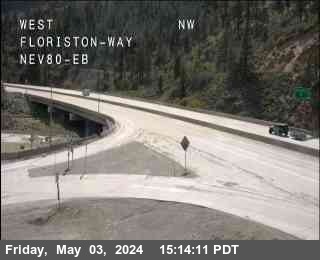
Floriston
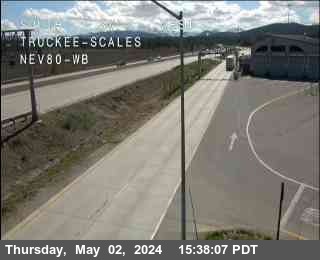
Truckee Scales
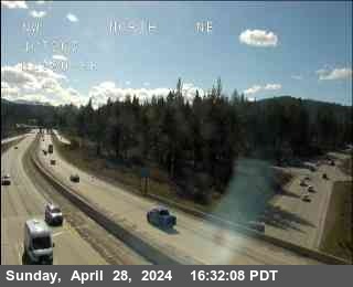
Truckee
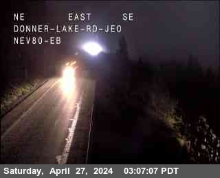
Donner Lake
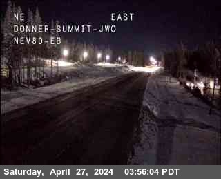
Donner Summit
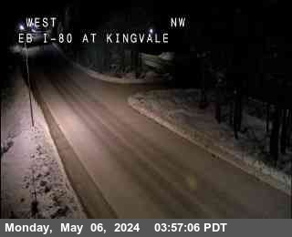
Kingvale
Blue Canyon
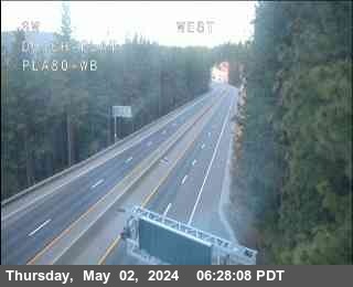
Dutch Flat
TRAVEL DISTANCES & TIMES
If your point of departure is farther away than Reno, Carson City, Sacramento or the San Francisco Bay Area, you can fly into one of seven international airports and drive into the mountains. Check the chart for distances and travel times.
| AIRPORT | MILES | KM | TRAVEL TIME | |
|---|---|---|---|---|
| Los Angeles International (LAX) | 500 | 805 | 8.75 | hours |
| Harry Reid International (LAS, Las Vegas) | 485 | 780 | 0.5 | hours |
| Mineta San Jose International (SJC) | 231 | 372 | 3.75 | hours |
| San Francisco International (SFO) | 211 | 340 | 3.5 | hours |
| Oakland International Airport (OAK) | 204 | 328 | 3.25 | hours |
| Sacramento International Airport (SMF) | 121 | 195 | 2 | hours |
| Reno/Tahoe International (RNO) | 37 | 58 | 54 | minutes |